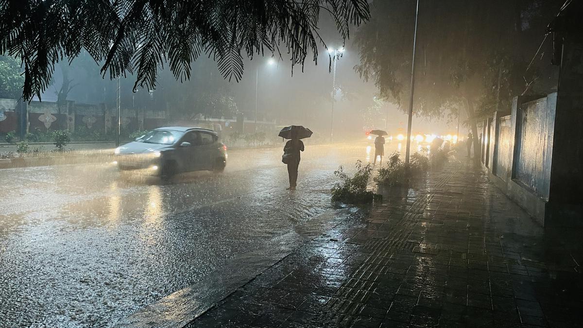


The Meteorological Department of Kenya has predicted a high possibility of high rainfall within the country as the world braces for El Niño.
The weather phenomenon occurs when warm water builds up along the equator in the eastern Pacific. The warm ocean surface warms the atmosphere, which allows moisture-rich air to rise and develop into rainstorms. It takes place every 3 to 5 years and causes excess rainfall and flooding in the East Africa region.
The rainstorms are expected to take place in the Lake Victoria Basin region, Kisii, Elgeyo Marakwet, Bungoma, Trans Nzoia, West Pokot, Vihiga, Laikipia, Nakuru and Narok counties.
According to the Metreological Department, rainfall is expected throughout the season in the highlands east of the Rift Valley, Nairobi included. For the lowlands, an above-long-term average for the season is expected while in the north-eastern counties, occasional rainfall of an amount slightly above average for the season will be experienced. Wajir and Mandera counties will get the highest rainfall.
The rains will begin in September and go on until January. They are expected to peak in October.
Flooding is expected to occur in Gilgil, Narok town and Suswa while the coastal towns of Mwatate, Tana River delta and Mwatate have also been identified as high-risk areas.
In March, the Food and Agriculture Organization of the United Nations (FAO) warned El Niño will return this year following a three-year La Niña phase.
La Niña refers to the periodic cooling of ocean surface temperatures in the central and east-central equatorial Pacific. La Nina events occur every 3 to 5 years.
The last La Niña had devastating effects on cereal production in East Africa. Several countries experiencing multiple seasons of failed crops that triggered famine alerts especially in Somalia in the first half of 2022.


